Shackerdale Farm
Introduction
The photograph on this page of Shackerdale Farm by Alan Murray-Rust as part of the Geograph project.
The Geograph project started in 2005 with the aim of publishing, organising and preserving representative images for every square kilometre of Great Britain, Ireland and the Isle of Man.

There are currently over 7.5m images from over 14,400 individuals and you can help contribute to the project by visiting https://www.geograph.org.uk
Shackerdale Farm
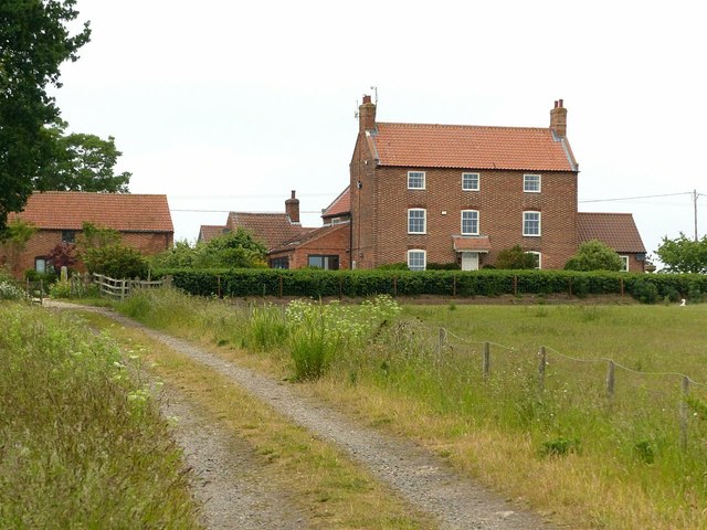
Image: © Alan Murray-Rust Taken: 7 Jun 2020
Built c.1800, a typical brick farmhouse of the period for the area. No longer a farm, with some of the buildings converted to business use. The small building with a chimney stack is a wash house. Listed Grade II.
Images are licensed for reuse under creativecommons.org/licenses/by-sa/2.0
Image Location
Latitude
52.988769
Longitude
-0.927988