2008 : View over Hagg Hill Farm
Introduction
The photograph on this page of 2008 : View over Hagg Hill Farm by Maurice Pullin as part of the Geograph project.
The Geograph project started in 2005 with the aim of publishing, organising and preserving representative images for every square kilometre of Great Britain, Ireland and the Isle of Man.

There are currently over 7.5m images from over 14,400 individuals and you can help contribute to the project by visiting https://www.geograph.org.uk
2008 : View over Hagg Hill Farm
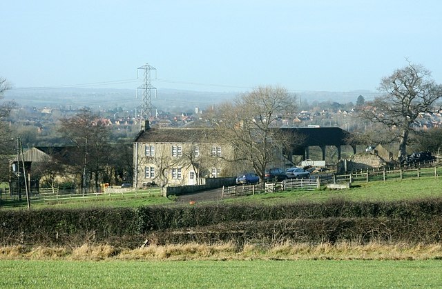
Image: © Maurice Pullin Taken: 6 Jan 2008
Apologies for another picture of the same subject, this one was far more difficult to get, the field in the foreground was very muddy. Beyond the farmhouse and the pylon we are looking over south Trowbridge. Lower Studley and North Bradley are there somewhere.
Images are licensed for reuse under creativecommons.org/licenses/by-sa/2.0
Image Location
Latitude
51.328737
Longitude
-2.153809