Hump by Stratford Lane, Hilton
Introduction
The photograph on this page of Hump by Stratford Lane, Hilton by David Howard as part of the Geograph project.
The Geograph project started in 2005 with the aim of publishing, organising and preserving representative images for every square kilometre of Great Britain, Ireland and the Isle of Man.

There are currently over 7.5m images from over 14,400 individuals and you can help contribute to the project by visiting https://www.geograph.org.uk
Hump by Stratford Lane, Hilton
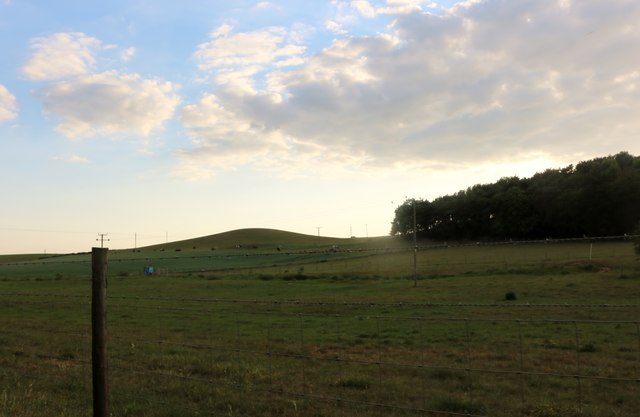
Image: © David Howard Taken: 30 May 2020
These are common in the area and seem related to the outcrops of sandstone which make up much of the local geology.
Images are licensed for reuse under creativecommons.org/licenses/by-sa/2.0
Image Location
Latitude
52.565421
Longitude
-2.328942