Agricultural fields near Featherbed Lane, Ashby-de-la-Zouch
Introduction
The photograph on this page of Agricultural fields near Featherbed Lane, Ashby-de-la-Zouch by Oliver Mills as part of the Geograph project.
The Geograph project started in 2005 with the aim of publishing, organising and preserving representative images for every square kilometre of Great Britain, Ireland and the Isle of Man.

There are currently over 7.5m images from over 14,400 individuals and you can help contribute to the project by visiting https://www.geograph.org.uk
Agricultural fields near Featherbed Lane, Ashby-de-la-Zouch
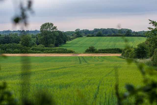
Image: © Oliver Mills Taken: 8 Jun 2020
A private farm track runs approximately along the trees to the right. Further to the left is the border of Ivanhoe College's sports fields. Viewed from the Ivanhoe Way/National Forest Way/Cross Britain Way footpath.
Images are licensed for reuse under creativecommons.org/licenses/by-sa/2.0
Image Location
Latitude
52.750316
Longitude
-1.466317