Leicester Road, Ashby-de-la-Zouch
Introduction
The photograph on this page of Leicester Road, Ashby-de-la-Zouch by Oliver Mills as part of the Geograph project.
The Geograph project started in 2005 with the aim of publishing, organising and preserving representative images for every square kilometre of Great Britain, Ireland and the Isle of Man.

There are currently over 7.5m images from over 14,400 individuals and you can help contribute to the project by visiting https://www.geograph.org.uk
Leicester Road, Ashby-de-la-Zouch
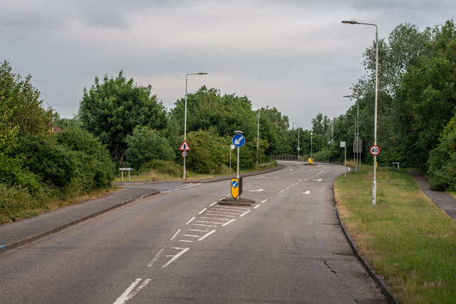
Image: © Oliver Mills Taken: 8 Jun 2020
Looking Southwards, where the road eventually passes through New Packington. The road entrances on both sides provide access to small housing estates.
Images are licensed for reuse under creativecommons.org/licenses/by-sa/2.0
Image Location
Latitude
52.742376
Longitude
-1.459896