Upper Packington Road, Ashby-de-la-Zouch
Introduction
The photograph on this page of Upper Packington Road, Ashby-de-la-Zouch by Oliver Mills as part of the Geograph project.
The Geograph project started in 2005 with the aim of publishing, organising and preserving representative images for every square kilometre of Great Britain, Ireland and the Isle of Man.

There are currently over 7.5m images from over 14,400 individuals and you can help contribute to the project by visiting https://www.geograph.org.uk
Upper Packington Road, Ashby-de-la-Zouch
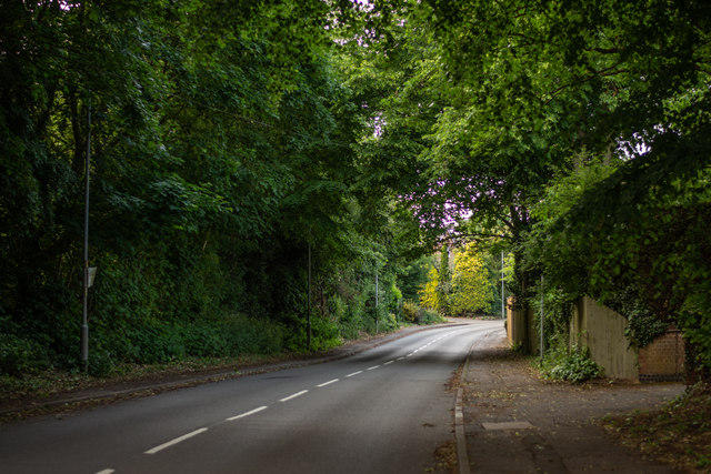
Image: © Oliver Mills Taken: 8 Jun 2020
Looking northwards, up a brief hill. The road crosses over the Leicester to Burton Railway, and eventually connects to Leicester Road.
Images are licensed for reuse under creativecommons.org/licenses/by-sa/2.0
Image Location
Latitude
52.739437
Longitude
-1.465857