Junction between Upper and Lower Packington Road, Ashby
Introduction
The photograph on this page of Junction between Upper and Lower Packington Road, Ashby by Oliver Mills as part of the Geograph project.
The Geograph project started in 2005 with the aim of publishing, organising and preserving representative images for every square kilometre of Great Britain, Ireland and the Isle of Man.

There are currently over 7.5m images from over 14,400 individuals and you can help contribute to the project by visiting https://www.geograph.org.uk
Junction between Upper and Lower Packington Road, Ashby
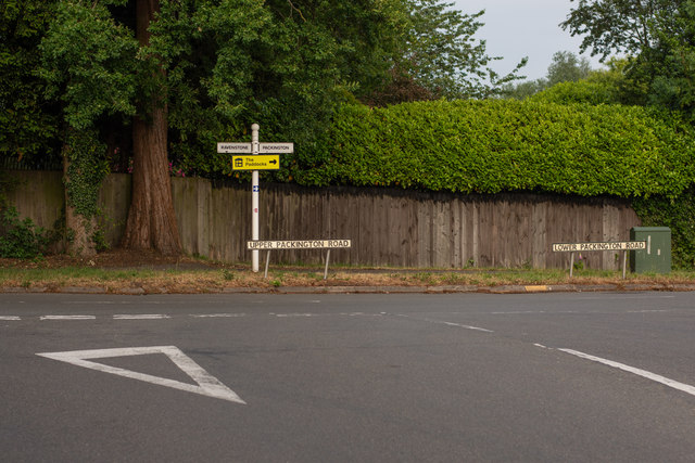
Image: © Oliver Mills Taken: 8 Jun 2020
Viewed from Lower Packington Road, which continues right on the primary road. Upper Packington Road begins from this junction, and connects to Leicester Road further North.
Images are licensed for reuse under creativecommons.org/licenses/by-sa/2.0
Image Location
Latitude
52.738359
Longitude
-1.466019