Standing stone...
Introduction
The photograph on this page of Standing stone... by Bill Harrison as part of the Geograph project.
The Geograph project started in 2005 with the aim of publishing, organising and preserving representative images for every square kilometre of Great Britain, Ireland and the Isle of Man.

There are currently over 7.5m images from over 14,400 individuals and you can help contribute to the project by visiting https://www.geograph.org.uk
Standing stone...
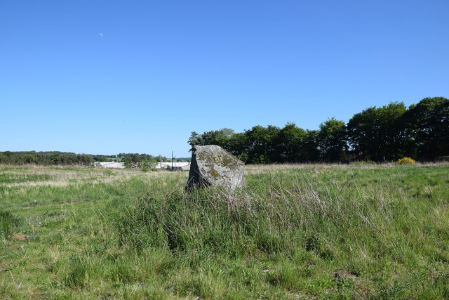
Image: © Bill Harrison Taken: 31 May 2020
...located about 100 metres south of Broomend of Crichie stone circle. This is thought to be one of 72 stones that once marked an avenue to the River Don.
Images are licensed for reuse under creativecommons.org/licenses/by-sa/2.0
Image Location
Latitude
57.266431
Longitude
-2.367721