The east side of Catharine Street
Introduction
The photograph on this page of The east side of Catharine Street by John Sutton as part of the Geograph project.
The Geograph project started in 2005 with the aim of publishing, organising and preserving representative images for every square kilometre of Great Britain, Ireland and the Isle of Man.

There are currently over 7.5m images from over 14,400 individuals and you can help contribute to the project by visiting https://www.geograph.org.uk
The east side of Catharine Street
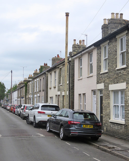
Image: © John Sutton Taken: 8 Jun 2020
The terraced streets of Romsey Town were built in the decades after the coming of the railway in the 1840s. The tall stench pipe has survived intact, unlike the one in the next street: Image
Images are licensed for reuse under creativecommons.org/licenses/by-sa/2.0
Image Location
Latitude
52.198368
Longitude
0.145638