St Mary, Tollesbury - north-west elevation of tower
Introduction
The photograph on this page of St Mary, Tollesbury - north-west elevation of tower by David Kemp as part of the Geograph project.
The Geograph project started in 2005 with the aim of publishing, organising and preserving representative images for every square kilometre of Great Britain, Ireland and the Isle of Man.

There are currently over 7.5m images from over 14,400 individuals and you can help contribute to the project by visiting https://www.geograph.org.uk
St Mary, Tollesbury - north-west elevation of tower
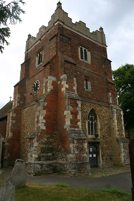
Image: © David Kemp Taken: 3 Jun 2020
The base of the tower is C11 and the brick upper extension added c.1600.
Images are licensed for reuse under creativecommons.org/licenses/by-sa/2.0
Image Location
Latitude
51.757753
Longitude
0.833015