Co-op Funeral Care, Welford Road
Introduction
The photograph on this page of Co-op Funeral Care, Welford Road by Roger Templeman as part of the Geograph project.
The Geograph project started in 2005 with the aim of publishing, organising and preserving representative images for every square kilometre of Great Britain, Ireland and the Isle of Man.

There are currently over 7.5m images from over 14,400 individuals and you can help contribute to the project by visiting https://www.geograph.org.uk
Co-op Funeral Care, Welford Road
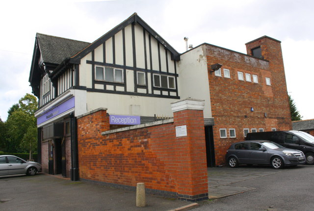
Image: © Roger Templeman Taken: 13 Sep 2017
There is an Ordnance Survey benchmark Image on the brick wall of the part of the building within the yard, left of the parked car and above a rat poison box. The tower of the building at the right hand end of the building has an Ordnance Survey triangulation station bolt on its roof, http://trigpointing.uk/trig/14277
Images are licensed for reuse under creativecommons.org/licenses/by-sa/2.0
Image Location
Latitude
52.608028
Longitude
-1.122345