West wing of Sir Jonathan North Community College
Introduction
The photograph on this page of West wing of Sir Jonathan North Community College by Roger Templeman as part of the Geograph project.
The Geograph project started in 2005 with the aim of publishing, organising and preserving representative images for every square kilometre of Great Britain, Ireland and the Isle of Man.

There are currently over 7.5m images from over 14,400 individuals and you can help contribute to the project by visiting https://www.geograph.org.uk
West wing of Sir Jonathan North Community College
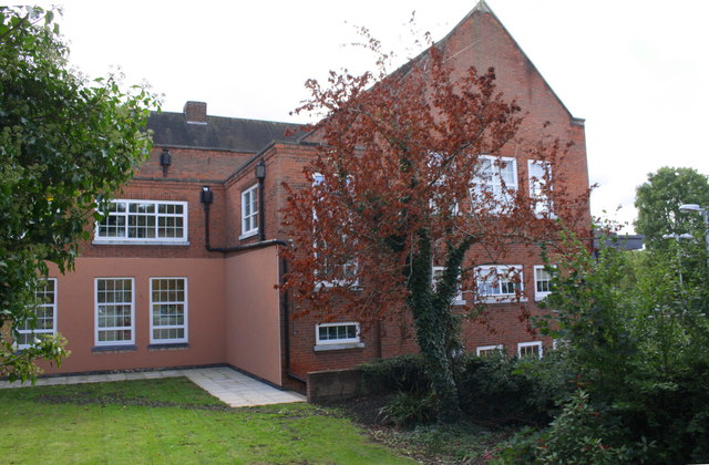
Image: © Roger Templeman Taken: 13 Sep 2017
Ordnance Survey documents indicate that in 1965 a benchmark levelled at 67.608m above Newlyn Datum was verified on the wall of the school to the left of the top of the steps. The mark is now hidden behind pink cladding.
Images are licensed for reuse under creativecommons.org/licenses/by-sa/2.0
Image Location
Latitude
52.607062
Longitude
-1.125465