Martingales, Newbold on Stour
Introduction
The photograph on this page of Martingales, Newbold on Stour by David Howard as part of the Geograph project.
The Geograph project started in 2005 with the aim of publishing, organising and preserving representative images for every square kilometre of Great Britain, Ireland and the Isle of Man.

There are currently over 7.5m images from over 14,400 individuals and you can help contribute to the project by visiting https://www.geograph.org.uk
Martingales, Newbold on Stour
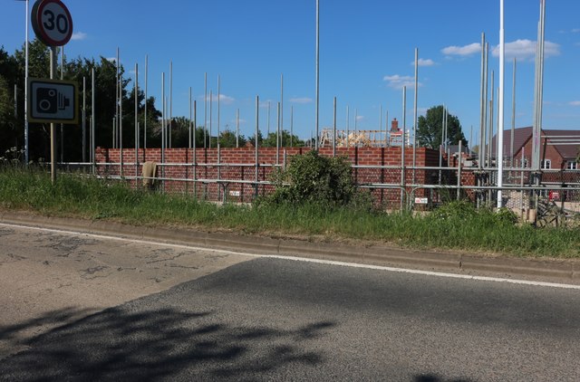
Image: © David Howard Taken: 30 May 2020
Another green field development, I see so many on the fringe of towns.
Images are licensed for reuse under creativecommons.org/licenses/by-sa/2.0
Image Location
Latitude
52.111499
Longitude
-1.637668