Badgerhole Shaw
Introduction
The photograph on this page of Badgerhole Shaw by Simon Carey as part of the Geograph project.
The Geograph project started in 2005 with the aim of publishing, organising and preserving representative images for every square kilometre of Great Britain, Ireland and the Isle of Man.

There are currently over 7.5m images from over 14,400 individuals and you can help contribute to the project by visiting https://www.geograph.org.uk
Badgerhole Shaw
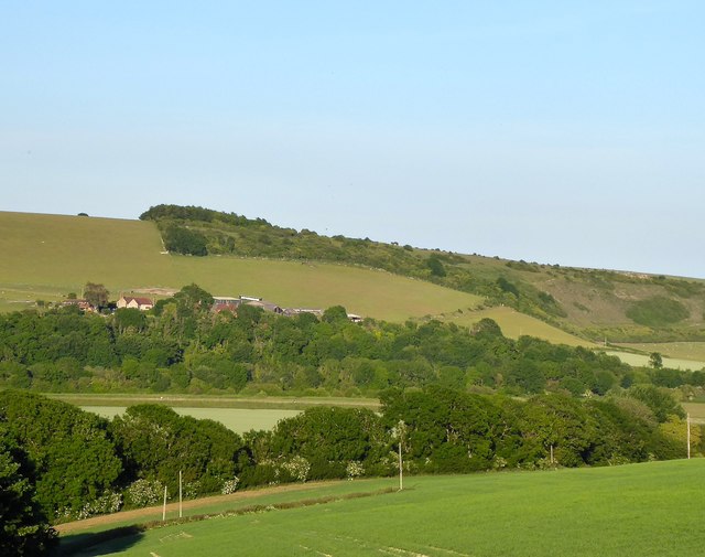
Image: © Simon Carey Taken: 1 Jun 2020
A small strip of woodland lining the western side of Coombes Road. Across the valley is Erringham Farm and Mill Hill Nature Reserve.
Images are licensed for reuse under creativecommons.org/licenses/by-sa/2.0
Image Location
Latitude
50.857801
Longitude
-0.301831