Northbourne: Headswell Crescent
Introduction
The photograph on this page of Northbourne: Headswell Crescent by Chris Downer as part of the Geograph project.
The Geograph project started in 2005 with the aim of publishing, organising and preserving representative images for every square kilometre of Great Britain, Ireland and the Isle of Man.

There are currently over 7.5m images from over 14,400 individuals and you can help contribute to the project by visiting https://www.geograph.org.uk
Northbourne: Headswell Crescent
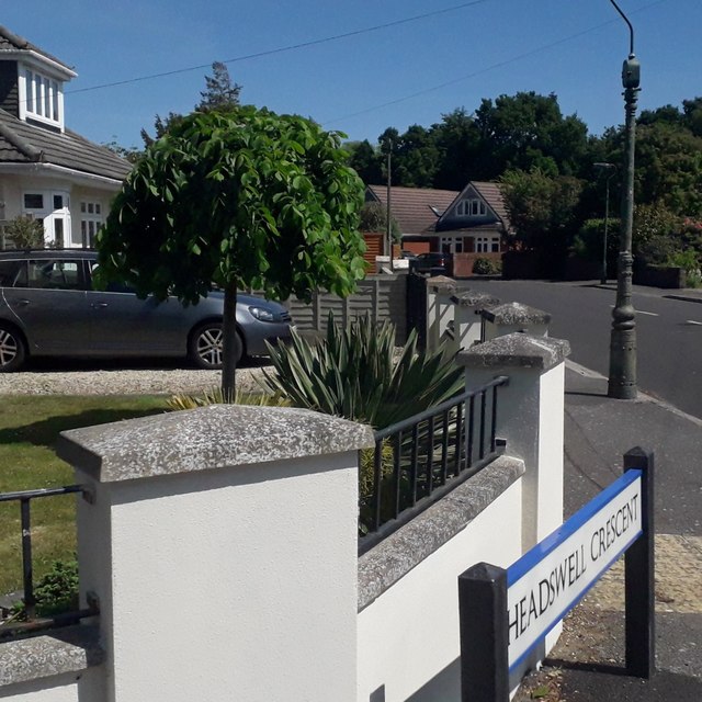
Image: © Chris Downer Taken: 10 Apr 2020
Headswell Crescent forms a standard crescent shape off the eastern side of Headswell Avenue, but at this southern end also crosses it to meet Saxonhurst Road, the next road behind us. It is typical Northbourne - decent, desirable detached housing and a mix of houses and bungalows. The sign is a modern one - it is only in the last couple of years that Bournemouth Borough Council stopped including its name in smaller type at the top of the sign, perhaps in readiness for local government reorganisation in April 2019 which saw the borough council replaced by BCP (Bournemouth, Christchurch & Poole) council. This is photo no.186 of a series of 453 in my coronavirus lockdown walking project: See https://www.geograph.org.uk/article/My-2020-Coronavirus-Lockdown-walking-project for the complete set of photos.
Images are licensed for reuse under creativecommons.org/licenses/by-sa/2.0
Image Location
Latitude
50.761283
Longitude
-1.882411