
Northbourne: Heads Lane
Introduction
The photograph on this page of Northbourne: Heads Lane by Chris Downer as part of the Geograph project.
The Geograph project started in 2005 with the aim of publishing, organising and preserving representative images for every square kilometre of Great Britain, Ireland and the Isle of Man.

There are currently over 7.5m images from over 14,400 individuals and you can help contribute to the project by visiting https://www.geograph.org.uk
Northbourne: Heads Lane
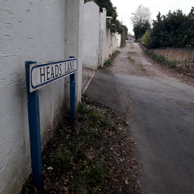
Image: © Chris Downer Taken: 13 Apr 2020
A gravel track which comes off Wimborne Road at an acute angle and then returns to it a bit further along. It has a few houses itself and also leads to Heads Farm Close, a standard-looking cul-de-sac of houses which is therefore wider than this lane that leads to it. It is also a public right of way, number O20 this end and O21 further along: see Image for a wider view from just behind us, including more discussion and links to further pictures on the route ahead. The sign is of a design that became prevalent in Bournemouth around 1990 and was in use for most of that decade, but a rarer single-line variant (see for example Image for the standard version, with room for two lines of text although not always used). The blue border has faded and the white surface started unpeeling on many of them, but this one is in pretty good condition, perhaps because it faces north and doesn't get much direct sunlight. This is photo no.184 of a series of 453 in my coronavirus lockdown walking project: See https://www.geograph.org.uk/article/My-2020-Coronavirus-Lockdown-walking-project for the complete set of photos.
Images are licensed for reuse under creativecommons.org/licenses/by-sa/2.0
Image Location

Latitude
50.76398
Longitude
-1.881128