Ensbury Park: Hazell Avenue
Introduction
The photograph on this page of Ensbury Park: Hazell Avenue by Chris Downer as part of the Geograph project.
The Geograph project started in 2005 with the aim of publishing, organising and preserving representative images for every square kilometre of Great Britain, Ireland and the Isle of Man.

There are currently over 7.5m images from over 14,400 individuals and you can help contribute to the project by visiting https://www.geograph.org.uk
Ensbury Park: Hazell Avenue
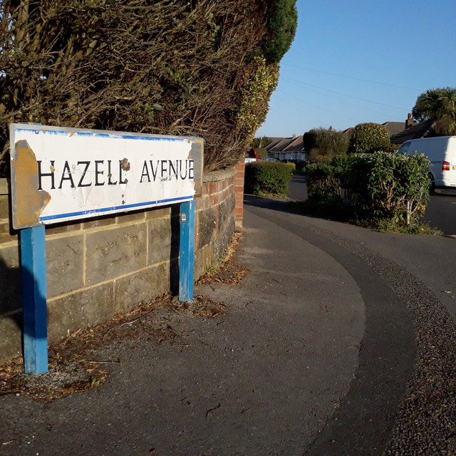
Image: © Chris Downer Taken: 14 Apr 2020
Looking around the corner from Noel Road down Hazell Avenue from its top end. We glimpse the bungalows which are prevalent in this area, and also the low hedges which separate each pavement from the carriageway. The sign is of a design that became prevalent in Bournemouth around 1990 and was in use for most of that decade. Many are starting to look a bit shabby now, and this one is a prime example of both deteriorations: the blue border fading and the white surface unpeeling. This is photo no.181 of a series of 453 in my coronavirus lockdown walking project: See https://www.geograph.org.uk/article/My-2020-Coronavirus-Lockdown-walking-project for the complete set of photos.
Images are licensed for reuse under creativecommons.org/licenses/by-sa/2.0
Image Location
Latitude
50.750513
Longitude
-1.905401