Old Stone Wall
Introduction
The photograph on this page of Old Stone Wall by Robert Struthers as part of the Geograph project.
The Geograph project started in 2005 with the aim of publishing, organising and preserving representative images for every square kilometre of Great Britain, Ireland and the Isle of Man.

There are currently over 7.5m images from over 14,400 individuals and you can help contribute to the project by visiting https://www.geograph.org.uk
Old Stone Wall
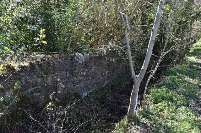
Image: © Robert Struthers Taken: 19 Apr 2020
Probably a former field boundary lost in the underground at the junction of Masterton Road and Carnegie Avenue.
Images are licensed for reuse under creativecommons.org/licenses/by-sa/2.0
Image Location
Latitude
56.051375
Longitude
-3.413168