Track south of Greyside
Introduction
The photograph on this page of Track south of Greyside by Andrew Curtis as part of the Geograph project.
The Geograph project started in 2005 with the aim of publishing, organising and preserving representative images for every square kilometre of Great Britain, Ireland and the Isle of Man.

There are currently over 7.5m images from over 14,400 individuals and you can help contribute to the project by visiting https://www.geograph.org.uk
Track south of Greyside
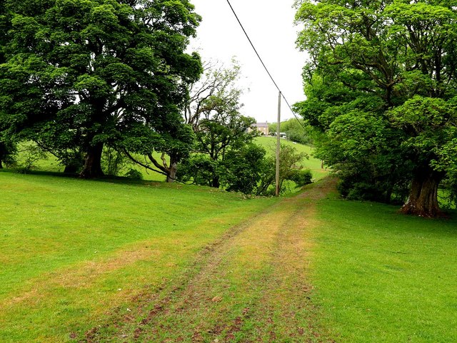
Image: © Andrew Curtis Taken: 4 Jun 2020
The track is embanked over a shallow valley, a tributary of Newbrough Burn, and does lead north to Greyside Farm. Old maps show, however, that it was probably originally built to serve lead workings, south of the farm on the left bank of Newbrough Burn, and potentially another on the east bank. These are marked as 'Old Lead Workings' on the 1:2,500 OS map of 1922. Neither track, nor workings, are shown on the first edition map of 1861.
Images are licensed for reuse under creativecommons.org/licenses/by-sa/2.0
Image Location
Latitude
55.010506
Longitude
-2.215595