Leek field on the Welsh border
Introduction
The photograph on this page of Leek field on the Welsh border by John Hughes as part of the Geograph project.
The Geograph project started in 2005 with the aim of publishing, organising and preserving representative images for every square kilometre of Great Britain, Ireland and the Isle of Man.

There are currently over 7.5m images from over 14,400 individuals and you can help contribute to the project by visiting https://www.geograph.org.uk
Leek field on the Welsh border
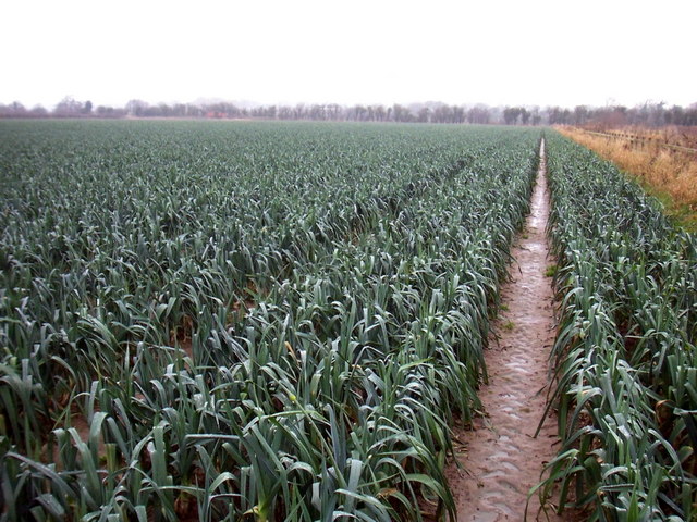
Image: © John Hughes Taken: 4 Jan 2008
The Dee once flowed on this flat land just south of Shotwick village. In the 18th century the Dee was canalized and its course changed to the Welsh side of the estuary, but the border remains where the river once was. The border, viewed from the Welsh side, follows the far hedge.
Images are licensed for reuse under creativecommons.org/licenses/by-sa/2.0
Image Location
Latitude
53.232785
Longitude
-2.993969