Kingsdown Golf Club
Introduction
The photograph on this page of Kingsdown Golf Club by Phil Williams as part of the Geograph project.
The Geograph project started in 2005 with the aim of publishing, organising and preserving representative images for every square kilometre of Great Britain, Ireland and the Isle of Man.

There are currently over 7.5m images from over 14,400 individuals and you can help contribute to the project by visiting https://www.geograph.org.uk
Kingsdown Golf Club
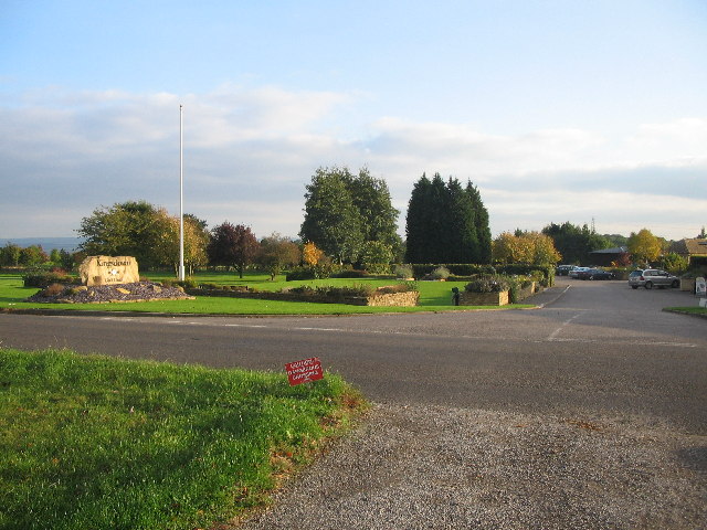
Image: © Phil Williams Taken: 13 Oct 2005
Looking southeast at the main entrance to Kingsdown Golf Club, the high ground of Salisbury Plain can be seen at centre left.
Images are licensed for reuse under creativecommons.org/licenses/by-sa/2.0
Image Location


Leaflet Map data © OpenStreetMap
Latitude
51.402624
Longitude
-2.267336