Council Houses on Brick Kiln Lane
Introduction
The photograph on this page of Council Houses on Brick Kiln Lane by Richard Law as part of the Geograph project.
The Geograph project started in 2005 with the aim of publishing, organising and preserving representative images for every square kilometre of Great Britain, Ireland and the Isle of Man.

There are currently over 7.5m images from over 14,400 individuals and you can help contribute to the project by visiting https://www.geograph.org.uk
Council Houses on Brick Kiln Lane
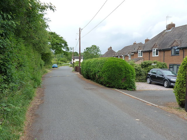
Image: © Richard Law Taken: 4 Jun 2020
The precise date of construction of these (council) houses isn't entirely clear. They do not appear on the 1938 maps, which suggests they are post-war.
Images are licensed for reuse under creativecommons.org/licenses/by-sa/2.0
Image Location
Latitude
52.624707
Longitude
-2.428068