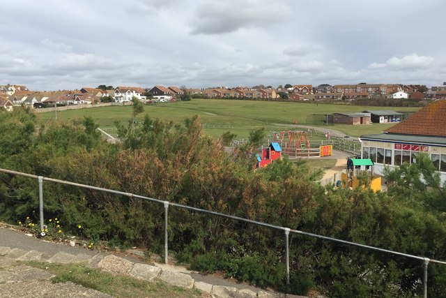
The Salts recreation ground, Seaford, looking north
Introduction
The photograph on this page of The Salts recreation ground, Seaford, looking north by Robin Stott as part of the Geograph project.
The Geograph project started in 2005 with the aim of publishing, organising and preserving representative images for every square kilometre of Great Britain, Ireland and the Isle of Man.
There are currently over 7.5m images from over 14,400 individuals and you can help contribute to the project by visiting https://www.geograph.org.uk

Image: © Robin Stott Taken: 6 Sep 2019
A valuable and popular open space, accessible from Marine Parade and the seafront, the town centre, and residential areas to the northwest: centre and right, St Crispians; left, Park Road and Beach Close. The ramps down are a reminder that The Salts is more or less natural ground and that Marine Parade at this point is a sea wall and flood defence.

