Tramlink
Introduction
The photograph on this page of Tramlink by Peter Trimming as part of the Geograph project.
The Geograph project started in 2005 with the aim of publishing, organising and preserving representative images for every square kilometre of Great Britain, Ireland and the Isle of Man.

There are currently over 7.5m images from over 14,400 individuals and you can help contribute to the project by visiting https://www.geograph.org.uk
Tramlink
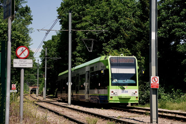
Image: © Peter Trimming Taken: 31 May 2020
Tram approaching a crossing, prior to the turn into Lloyd Park. Tramlink utilises the trackbed of the former railway line to Woodside. Note the distant tunnel, which is several hundred yards long.
Images are licensed for reuse under creativecommons.org/licenses/by-sa/2.0
Image Location
Latitude
51.36576
Longitude
-0.082997