Erosion to bank of River Wear
Introduction
The photograph on this page of Erosion to bank of River Wear by Trevor Littlewood as part of the Geograph project.
The Geograph project started in 2005 with the aim of publishing, organising and preserving representative images for every square kilometre of Great Britain, Ireland and the Isle of Man.

There are currently over 7.5m images from over 14,400 individuals and you can help contribute to the project by visiting https://www.geograph.org.uk
Erosion to bank of River Wear
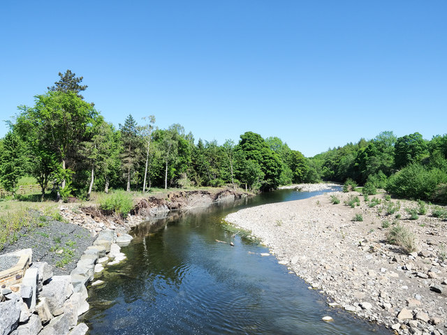
Image: © Trevor Littlewood Taken: 1 Jun 2020
The River Wear seen downstream from the footbridge at Frosterley. Large rocks have been placed to arrest the erosion of the north bank but damage can still be seen further on.
Images are licensed for reuse under creativecommons.org/licenses/by-sa/2.0
Image Location
Latitude
54.725911
Longitude
-1.953233