Field between the Heathlands Estate and Eckington
Introduction
The photograph on this page of Field between the Heathlands Estate and Eckington by Ray King as part of the Geograph project.
The Geograph project started in 2005 with the aim of publishing, organising and preserving representative images for every square kilometre of Great Britain, Ireland and the Isle of Man.

There are currently over 7.5m images from over 14,400 individuals and you can help contribute to the project by visiting https://www.geograph.org.uk
Field between the Heathlands Estate and Eckington
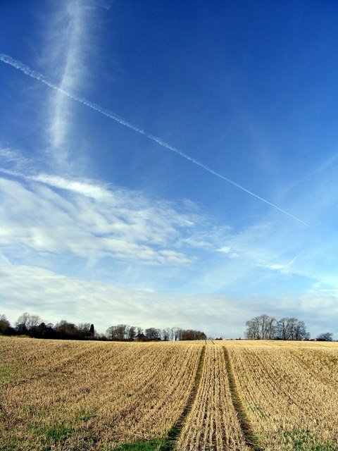
Image: © Ray King Taken: 25 Nov 2007
More and more housing estates are being built in the South of Sheffield, encroaching on the remaining agricultural land.
Images are licensed for reuse under creativecommons.org/licenses/by-sa/2.0
Image Location
Latitude
53.317298
Longitude
-1.346092