Field close to Hook Farm
Introduction
The photograph on this page of Field close to Hook Farm by James Emmans as part of the Geograph project.
The Geograph project started in 2005 with the aim of publishing, organising and preserving representative images for every square kilometre of Great Britain, Ireland and the Isle of Man.

There are currently over 7.5m images from over 14,400 individuals and you can help contribute to the project by visiting https://www.geograph.org.uk
Field close to Hook Farm
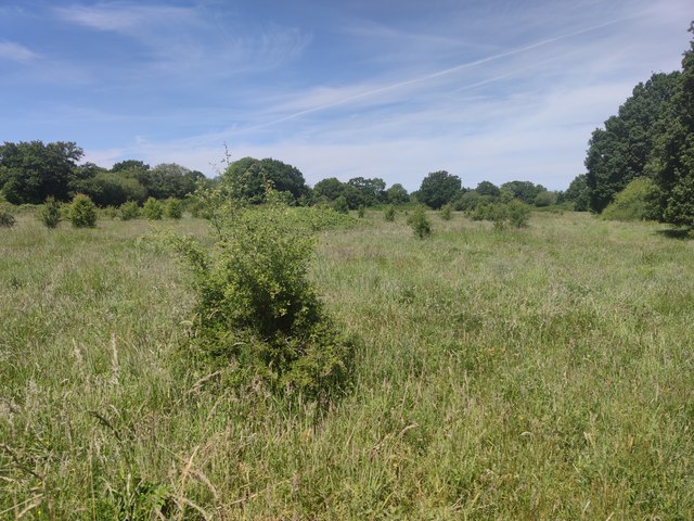
Image: © James Emmans Taken: 2 Jun 2020
Hawthorn is turning field into scrub. The thorn trees look naturally sown as a pioneer species. The farmer maybe starting a rewilding project.
Images are licensed for reuse under creativecommons.org/licenses/by-sa/2.0
Image Location
Latitude
51.255786
Longitude
-0.619971