Housing at junction of Wanlip Road and Roundhill Close
Introduction
The photograph on this page of Housing at junction of Wanlip Road and Roundhill Close by Roger Templeman as part of the Geograph project.
The Geograph project started in 2005 with the aim of publishing, organising and preserving representative images for every square kilometre of Great Britain, Ireland and the Isle of Man.

There are currently over 7.5m images from over 14,400 individuals and you can help contribute to the project by visiting https://www.geograph.org.uk
Housing at junction of Wanlip Road and Roundhill Close
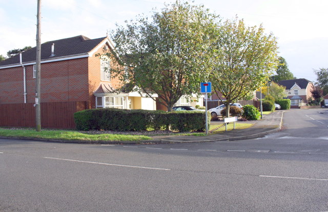
Image: © Roger Templeman Taken: 11 Sep 2017
This was the site of the En-Tout-Cas tennis court factory demolished in 1995. The factory had an Ordnance Survey flush bracket (serial identifier S9825) benchmark on its NW face ( www.bench-marks.org.uk/bm21691 ) and an OS triangulation station comprising a flagstaff and rivet on its roof ( http://trigpointing.uk/trig/19004 )
Images are licensed for reuse under creativecommons.org/licenses/by-sa/2.0
Image Location
Latitude
52.692965
Longitude
-1.084245