The A944 to the west of Kingswells
Introduction
The photograph on this page of The A944 to the west of Kingswells by Bill Harrison as part of the Geograph project.
The Geograph project started in 2005 with the aim of publishing, organising and preserving representative images for every square kilometre of Great Britain, Ireland and the Isle of Man.

There are currently over 7.5m images from over 14,400 individuals and you can help contribute to the project by visiting https://www.geograph.org.uk
The A944 to the west of Kingswells
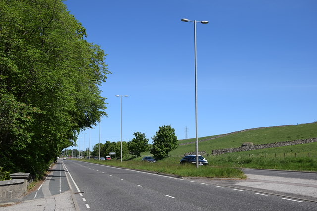
Image: © Bill Harrison Taken: 30 May 2020
The A944 runs roughly east-to-west from Aberdeen to the village of Strathdon, some 81 km away: https://en.wikipedia.org/wiki/A944_road . Note the huge erratic granite boulder in the field behind the dry stane dyke, which was probably deposited by a glacier some 10-12,000 years ago.
Images are licensed for reuse under creativecommons.org/licenses/by-sa/2.0
Image Location
Latitude
57.146479
Longitude
-2.229033