Lower Cow Brook/Middle Cow Brook/Upper Cow Brook
Introduction
The photograph on this page of Lower Cow Brook/Middle Cow Brook/Upper Cow Brook by Simon Carey as part of the Geograph project.
The Geograph project started in 2005 with the aim of publishing, organising and preserving representative images for every square kilometre of Great Britain, Ireland and the Isle of Man.

There are currently over 7.5m images from over 14,400 individuals and you can help contribute to the project by visiting https://www.geograph.org.uk
Lower Cow Brook/Middle Cow Brook/Upper Cow Brook
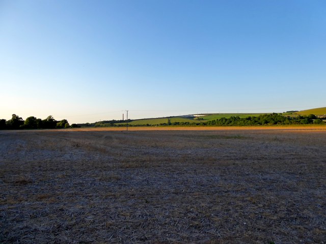
Image: © Simon Carey Taken: 30 May 2020
The name of the fields according to Coombes' 1841 tithe map that have been merged to form a larger unit. Lower Cow brook is in the foreground adjacent to Coombes Road.
Images are licensed for reuse under creativecommons.org/licenses/by-sa/2.0
Image Location
Latitude
50.853604
Longitude
-0.297722