The Rookeries
Introduction
The photograph on this page of The Rookeries by Phillip Beadham as part of the Geograph project.
The Geograph project started in 2005 with the aim of publishing, organising and preserving representative images for every square kilometre of Great Britain, Ireland and the Isle of Man.

There are currently over 7.5m images from over 14,400 individuals and you can help contribute to the project by visiting https://www.geograph.org.uk
The Rookeries
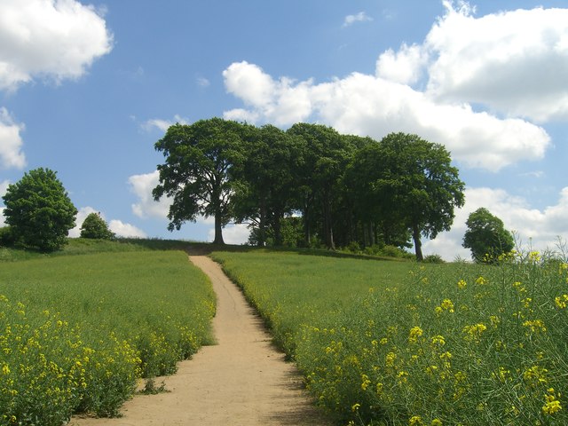
Image: © Phillip Beadham Taken: 21 May 2020
This walk is one of Pontefract's hidden gems.
Images are licensed for reuse under creativecommons.org/licenses/by-sa/2.0
Image Location
Latitude
53.680243
Longitude
-1.296126