Cycle & Footpath signs Bell Lane
Introduction
The photograph on this page of Cycle & Footpath signs Bell Lane by Sean Davis as part of the Geograph project.
The Geograph project started in 2005 with the aim of publishing, organising and preserving representative images for every square kilometre of Great Britain, Ireland and the Isle of Man.

There are currently over 7.5m images from over 14,400 individuals and you can help contribute to the project by visiting https://www.geograph.org.uk
Cycle & Footpath signs Bell Lane
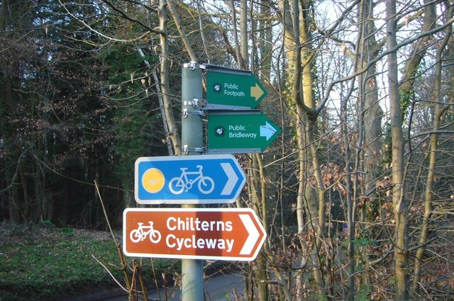
Image: © Sean Davis Taken: 13 Mar 2011
Chilterns Cycleway, public footpath and public bridleway signs from Bell Lane into West Wood at Little Chalfont. This is on the route of the London Green Belt Way which follows the public footpath through the wood on the way to Latimer.
Images are licensed for reuse under creativecommons.org/licenses/by-sa/2.0
Image Location
Latitude
51.674878
Longitude
-0.565692