Entrance to Auchrobert Wind Farm
Introduction
The photograph on this page of Entrance to Auchrobert Wind Farm by wrobison as part of the Geograph project.
The Geograph project started in 2005 with the aim of publishing, organising and preserving representative images for every square kilometre of Great Britain, Ireland and the Isle of Man.

There are currently over 7.5m images from over 14,400 individuals and you can help contribute to the project by visiting https://www.geograph.org.uk
Entrance to Auchrobert Wind Farm
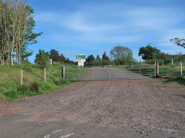
Image: © wrobison Taken: 27 May 2020
A recent 36MW construction in which the Auchrobert Community Energy Society have a stake. Its aim is to provide social and environmental benefits to people local to the wind farm. More details can be found at https://auchrobert.coop/
Images are licensed for reuse under creativecommons.org/licenses/by-sa/2.0
Image Location
Latitude
55.654628
Longitude
-3.974379