John Street, Ayr
Introduction
The photograph on this page of John Street, Ayr by Mary and Angus Hogg as part of the Geograph project.
The Geograph project started in 2005 with the aim of publishing, organising and preserving representative images for every square kilometre of Great Britain, Ireland and the Isle of Man.

There are currently over 7.5m images from over 14,400 individuals and you can help contribute to the project by visiting https://www.geograph.org.uk
John Street, Ayr
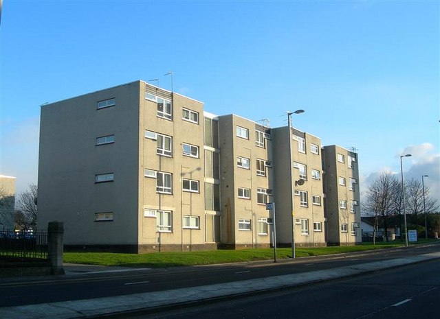
Image: © Mary and Angus Hogg Taken: 3 Jan 2008
Blocks of council flats in John Street, on the north-east side of Ayr's inner ring road.
Images are licensed for reuse under creativecommons.org/licenses/by-sa/2.0
Image Location
Latitude
55.463218
Longitude
-4.62384