Road approaching Cobblehaugh
Introduction
The photograph on this page of Road approaching Cobblehaugh by Alan O'Dowd as part of the Geograph project.
The Geograph project started in 2005 with the aim of publishing, organising and preserving representative images for every square kilometre of Great Britain, Ireland and the Isle of Man.

There are currently over 7.5m images from over 14,400 individuals and you can help contribute to the project by visiting https://www.geograph.org.uk
Road approaching Cobblehaugh
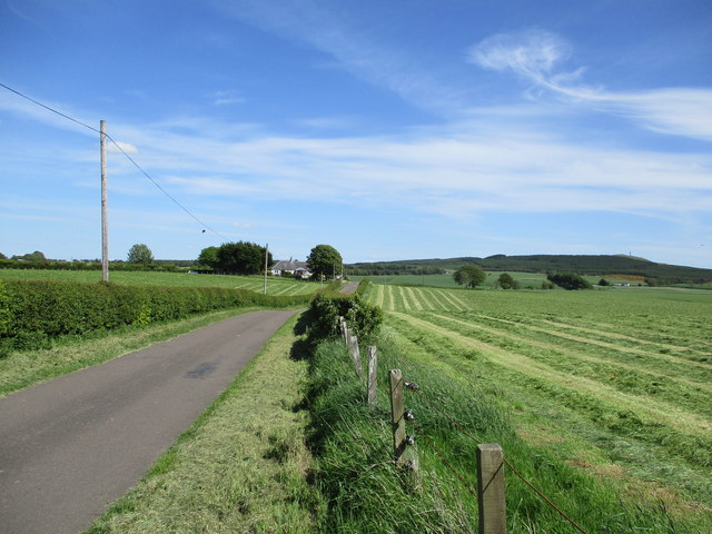
Image: © Alan O'Dowd Taken: 29 May 2020
The farm in the middle distance is named Coblehaugh on older maps but gained an extra b to become Cobblehaugh at some point in the early twentieth century.
Images are licensed for reuse under creativecommons.org/licenses/by-sa/2.0
Image Location
Latitude
55.663569
Longitude
-3.71441