Ladhope Bank
Introduction
The photograph on this page of Ladhope Bank by Walter Baxter as part of the Geograph project.
The Geograph project started in 2005 with the aim of publishing, organising and preserving representative images for every square kilometre of Great Britain, Ireland and the Isle of Man.

There are currently over 7.5m images from over 14,400 individuals and you can help contribute to the project by visiting https://www.geograph.org.uk
Ladhope Bank
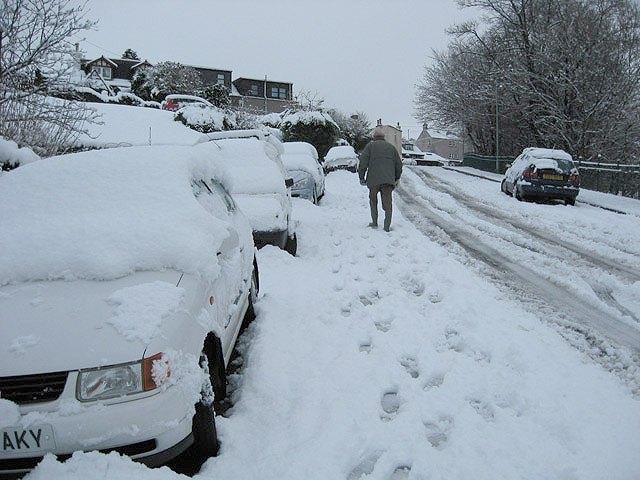
Image: © Walter Baxter Taken: 4 Jan 2008
Heavy snowfall has produced difficult conditions on the side roads in the town. Other than a 4x4, there would be no chance of driving a car up this brae. The only traffic I saw coming down this road were four wheel drive vehicles.
Images are licensed for reuse under creativecommons.org/licenses/by-sa/2.0
Image Location


Leaflet Map data © OpenStreetMap
Latitude
55.620649
Longitude
-2.812474