No. 19 Ledbury Road
Introduction
The photograph on this page of No. 19 Ledbury Road by phil Richards as part of the Geograph project.
The Geograph project started in 2005 with the aim of publishing, organising and preserving representative images for every square kilometre of Great Britain, Ireland and the Isle of Man.

There are currently over 7.5m images from over 14,400 individuals and you can help contribute to the project by visiting https://www.geograph.org.uk
No. 19 Ledbury Road
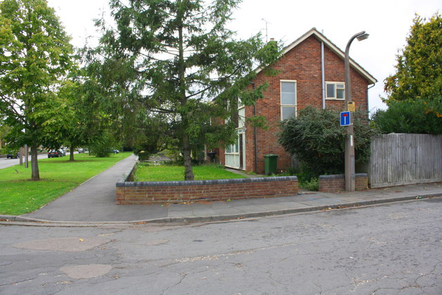
Image: © phil Richards Taken: 22 Oct 2017
Ordnance Survey documents indicate that in 1965 a benchmark was levelled at 17.523m above Newlyn Datum on the right hand side of the gap in the roadside wall through which access to the house was provided.
Images are licensed for reuse under creativecommons.org/licenses/by-sa/2.0
Image Location
Latitude
52.580495
Longitude
-0.270723