Sweet Peas by Footpath 192_3
Introduction
The photograph on this page of Sweet Peas by Footpath 192_3 by Glyn Baker as part of the Geograph project.
The Geograph project started in 2005 with the aim of publishing, organising and preserving representative images for every square kilometre of Great Britain, Ireland and the Isle of Man.

There are currently over 7.5m images from over 14,400 individuals and you can help contribute to the project by visiting https://www.geograph.org.uk
Sweet Peas by Footpath 192_3
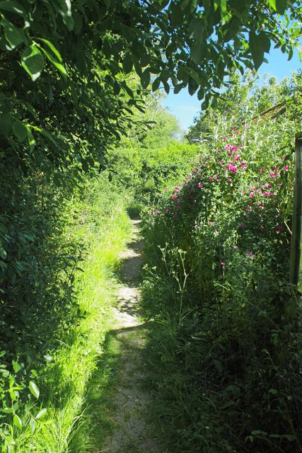
Image: © Glyn Baker Taken: 29 May 2020
This path is part of the Stort Valley Way https://ldwa.org.uk/ldp/members/show_path.php?path_name=Stort+Valley+Way this shot was take looking back to Tilegate Lane.
Images are licensed for reuse under creativecommons.org/licenses/by-sa/2.0
Image Location
Latitude
51.75928
Longitude
0.194168