Waldorf Way, Wakefield
Introduction
The photograph on this page of Waldorf Way, Wakefield by Christine Johnstone as part of the Geograph project.
The Geograph project started in 2005 with the aim of publishing, organising and preserving representative images for every square kilometre of Great Britain, Ireland and the Isle of Man.

There are currently over 7.5m images from over 14,400 individuals and you can help contribute to the project by visiting https://www.geograph.org.uk
Waldorf Way, Wakefield
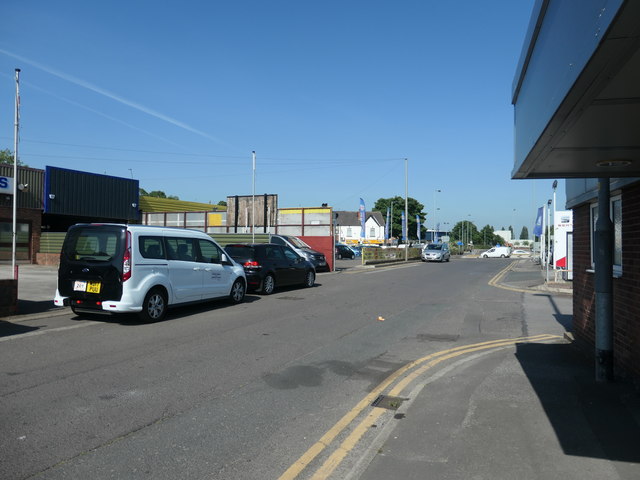
Image: © Christine Johnstone Taken: 28 May 2020
On the route of Smithson's Tramroad, which brought coal down from Low Laithes to Thornes Wharf on the River Calder. The horse-drawn railway opened in 1798 and had L section rails on stone sleepers. It was still operating in 1850, but by the late 1880s mining had ceased at the old Low Laithes sites. A stub of the tramroad still operated in the late 1880s, from a quarry here to sidings below the Kirkgate railway line, off Thornes Lane. By 1904-07 even this stub had gone.
Images are licensed for reuse under creativecommons.org/licenses/by-sa/2.0
Image Location
Latitude
53.675966
Longitude
-1.500562