Bench Mark Black Hey Farm Tyersal Lane
Introduction
The photograph on this page of Bench Mark Black Hey Farm Tyersal Lane by OfficeOfPudseyBMs as part of the Geograph project.
The Geograph project started in 2005 with the aim of publishing, organising and preserving representative images for every square kilometre of Great Britain, Ireland and the Isle of Man.

There are currently over 7.5m images from over 14,400 individuals and you can help contribute to the project by visiting https://www.geograph.org.uk
Bench Mark Black Hey Farm Tyersal Lane
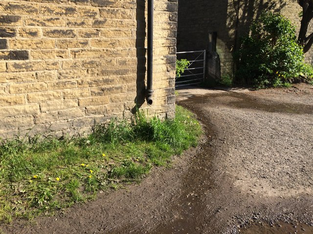
Image: © OfficeOfPudseyBMs Taken: 15 May 2020
Wider view of location of bench mark at Black Hey Farm as described https://www.bench-marks.org.uk/bm122645 Close up photograph https://www.geograph.org.uk/photo/6490546
Images are licensed for reuse under creativecommons.org/licenses/by-sa/2.0
Image Location
Latitude
53.788234
Longitude
-1.688505