Waterside development, Shoreham By Sea
Introduction
The photograph on this page of Waterside development, Shoreham By Sea by Simon Carey as part of the Geograph project.
The Geograph project started in 2005 with the aim of publishing, organising and preserving representative images for every square kilometre of Great Britain, Ireland and the Isle of Man.

There are currently over 7.5m images from over 14,400 individuals and you can help contribute to the project by visiting https://www.geograph.org.uk
Waterside development, Shoreham By Sea
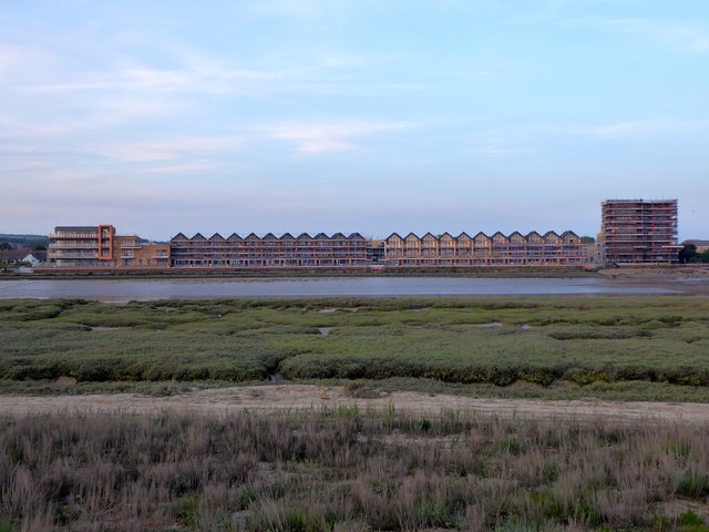
Image: © Simon Carey Taken: 25 May 2020
New development currently being built to the north of the railway on the eastern side of the River Adur. From left to right are: Image, Image and Image
Images are licensed for reuse under creativecommons.org/licenses/by-sa/2.0
Image Location


Leaflet Map data © OpenStreetMap
Latitude
50.834671
Longitude
-0.282221