Plough lines at Linton Wood
Introduction
The photograph on this page of Plough lines at Linton Wood by Gordon Hatton as part of the Geograph project.
The Geograph project started in 2005 with the aim of publishing, organising and preserving representative images for every square kilometre of Great Britain, Ireland and the Isle of Man.

There are currently over 7.5m images from over 14,400 individuals and you can help contribute to the project by visiting https://www.geograph.org.uk
Plough lines at Linton Wood
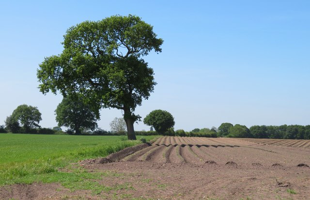
Image: © Gordon Hatton Taken: 28 May 2020
This area is named as Linton Wood on the OS map, but there is very little evidence of woodland. Not far away is Fox Covert, a name that explains itself, and also within the square is Spring Wood, the name 'Spring' being common in Yorkshire being associated with coppicing.
Images are licensed for reuse under creativecommons.org/licenses/by-sa/2.0
Image Location
Latitude
54.052547
Longitude
-1.226002