The start of the Downs Link line
Introduction
The photograph on this page of The start of the Downs Link line by Mark Chambers as part of the Geograph project.
The Geograph project started in 2005 with the aim of publishing, organising and preserving representative images for every square kilometre of Great Britain, Ireland and the Isle of Man.

There are currently over 7.5m images from over 14,400 individuals and you can help contribute to the project by visiting https://www.geograph.org.uk
The start of the Downs Link line
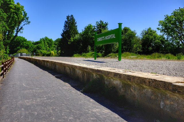
Image: © Mark Chambers Taken: 29 May 2020
The site of the Christ's Hospital end of the Downs Link line. Someone obviously thought rebuilding a platform a good idea.
Images are licensed for reuse under creativecommons.org/licenses/by-sa/2.0
Image Location
Latitude
51.051062
Longitude
-0.364827