Field Edge
Introduction
The photograph on this page of Field Edge by Mary and Angus Hogg as part of the Geograph project.
The Geograph project started in 2005 with the aim of publishing, organising and preserving representative images for every square kilometre of Great Britain, Ireland and the Isle of Man.

There are currently over 7.5m images from over 14,400 individuals and you can help contribute to the project by visiting https://www.geograph.org.uk
Field Edge
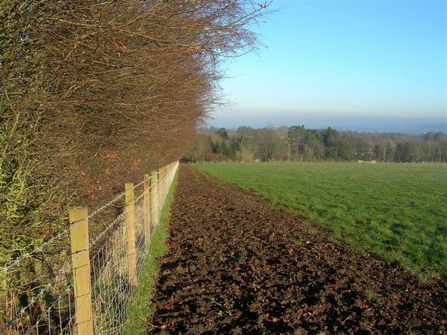
Image: © Mary and Angus Hogg Taken: 19 Dec 2007
This muddy field edge is the continuation of a track shown on the Explorer map. The haze in the background is lying over the town of Ayr, after a short spell of calm winter weather.
Images are licensed for reuse under creativecommons.org/licenses/by-sa/2.0
Image Location
Latitude
55.406094
Longitude
-4.64675