The North Riding Infirmary during demolition
Introduction
The photograph on this page of The North Riding Infirmary during demolition by Alison Brown as part of the Geograph project.
The Geograph project started in 2005 with the aim of publishing, organising and preserving representative images for every square kilometre of Great Britain, Ireland and the Isle of Man.

There are currently over 7.5m images from over 14,400 individuals and you can help contribute to the project by visiting https://www.geograph.org.uk
The North Riding Infirmary during demolition
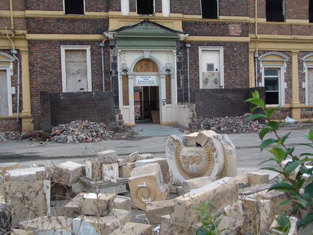
Image: © Alison Brown Taken: 12 Nov 2006
The stones from the entrance portico lie in the foreground, numbered to allow it to be rebuilt at some point.
Images are licensed for reuse under creativecommons.org/licenses/by-sa/2.0
Image Location
Latitude
54.574291
Longitude
-1.243841