South Bucks Way sign near Little Missenden
Introduction
The photograph on this page of South Bucks Way sign near Little Missenden by Sean Davis as part of the Geograph project.
The Geograph project started in 2005 with the aim of publishing, organising and preserving representative images for every square kilometre of Great Britain, Ireland and the Isle of Man.

There are currently over 7.5m images from over 14,400 individuals and you can help contribute to the project by visiting https://www.geograph.org.uk
South Bucks Way sign near Little Missenden
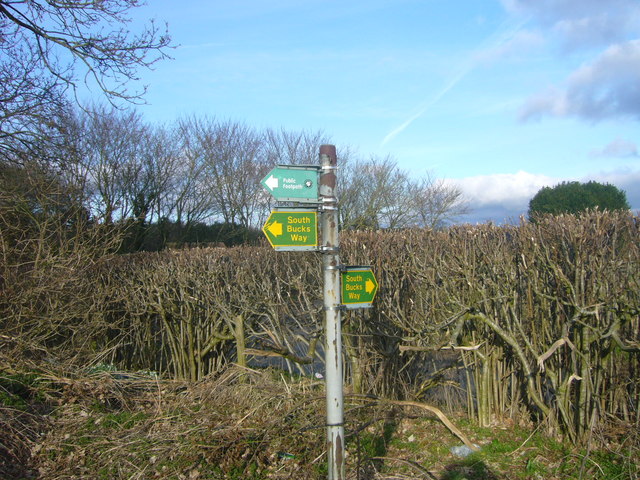
Image: © Sean Davis Taken: 13 Mar 2011
This is where the South Bucks Way exits a field onto Penfold Lane, just before Little Missenden. This is also on the route of the London Green Belt Way.
Images are licensed for reuse under creativecommons.org/licenses/by-sa/2.0
Image Location
Latitude
51.680514
Longitude
-0.672637