No. 44 Evington Lane at junction with Norwood Road
Introduction
The photograph on this page of No. 44 Evington Lane at junction with Norwood Road by phil Richards as part of the Geograph project.
The Geograph project started in 2005 with the aim of publishing, organising and preserving representative images for every square kilometre of Great Britain, Ireland and the Isle of Man.

There are currently over 7.5m images from over 14,400 individuals and you can help contribute to the project by visiting https://www.geograph.org.uk
No. 44 Evington Lane at junction with Norwood Road
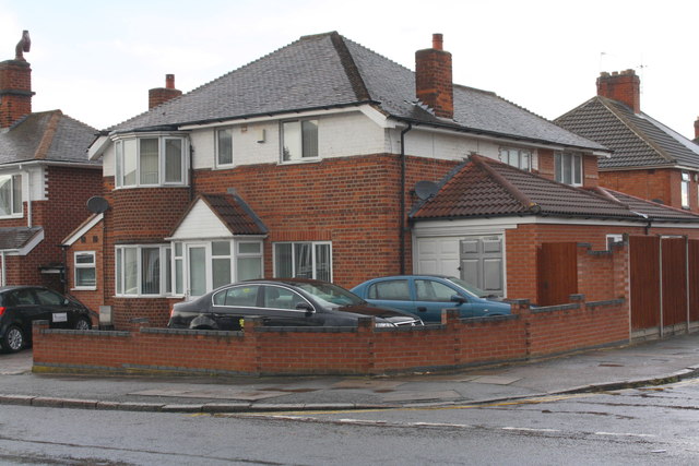
Image: © phil Richards Taken: 9 Sep 2017
There is an Ordnance Survey benchmark Image on the near corner of the house, right hand face, on the approach to the attached garage.
Images are licensed for reuse under creativecommons.org/licenses/by-sa/2.0
Image Location
Latitude
52.623386
Longitude
-1.096481