Picnic Place by the Gallos Brook
Introduction
The photograph on this page of Picnic Place by the Gallos Brook by Des Blenkinsopp as part of the Geograph project.
The Geograph project started in 2005 with the aim of publishing, organising and preserving representative images for every square kilometre of Great Britain, Ireland and the Isle of Man.

There are currently over 7.5m images from over 14,400 individuals and you can help contribute to the project by visiting https://www.geograph.org.uk
Picnic Place by the Gallos Brook
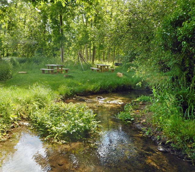
Image: © Des Blenkinsopp Taken: 26 May 2020
A nice secluded place by the water on the edge of the village. The Gallos Brook joins the River Ray at Islip.
Images are licensed for reuse under creativecommons.org/licenses/by-sa/2.0
Image Location
Latitude
51.8616
Longitude
-1.234091