Free Wharf
Introduction
The photograph on this page of Free Wharf by Simon Carey as part of the Geograph project.
The Geograph project started in 2005 with the aim of publishing, organising and preserving representative images for every square kilometre of Great Britain, Ireland and the Isle of Man.

There are currently over 7.5m images from over 14,400 individuals and you can help contribute to the project by visiting https://www.geograph.org.uk
Free Wharf
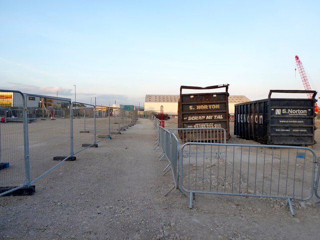
Image: © Simon Carey Taken: 24 May 2020
Former commercial wharf is the first to redeveloped for housing with the builders now on site. Shoreham Port Authority decided to cease using the western arm of the harbour freeing up 6 former wharfs for waterside apartments.
Images are licensed for reuse under creativecommons.org/licenses/by-sa/2.0
Image Location
Latitude
50.832613
Longitude
-0.264687