Bench Mark, Orlock
Introduction
The photograph on this page of Bench Mark, Orlock by Rossographer as part of the Geograph project.
The Geograph project started in 2005 with the aim of publishing, organising and preserving representative images for every square kilometre of Great Britain, Ireland and the Isle of Man.

There are currently over 7.5m images from over 14,400 individuals and you can help contribute to the project by visiting https://www.geograph.org.uk
Bench Mark, Orlock
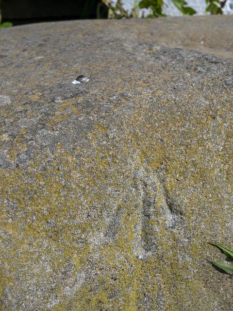
Image: © Rossographer Taken: 25 May 2020
Rivet bench mark in a large stone on the corner of Orlock Road and Coastguard Lane, Orlock Image The mark has been levelled to 28.96 metres above MSL.
Images are licensed for reuse under creativecommons.org/licenses/by-sa/2.0
Image Location
Latitude
54.672428
Longitude
-5.583774